Hillsborough County Drone Coverage
Drone Services in Brandon, FL
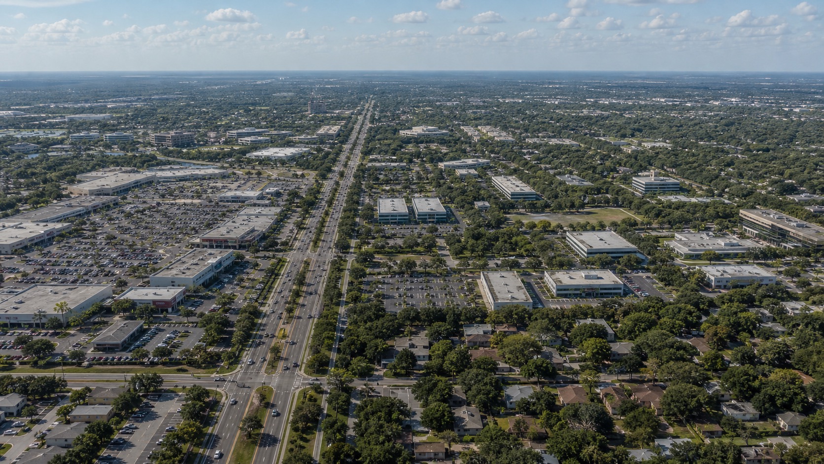
Brandon's mix of retail corridors, business parks, residential neighborhoods, and construction makes aerial media useful for both marketing and documentation. Tampa Drone Service captures clean visuals for local businesses and property teams.
Local Aerial Coverage
Built for Brandon properties, businesses, and events.
Our FAA-certified drone work helps clients show the details that matter: location, access, scale, surroundings, and visual impact. Every flight is planned around local conditions, weather, airspace, people nearby, and the media you need delivered.
Local Landmarks
Familiar Brandon context from above
Industries
Drone media for Brandon's local economy
Retail and local business
Show storefronts, access, parking, surrounding traffic corridors, and customer-facing locations from above.
Real estate and property management
Capture residential communities, commercial buildings, outdoor amenities, and site context for listings and reports.
Construction and renovations
Document project progress, exterior conditions, and site layout for owners, contractors, and stakeholders.
Use Cases
Where aerial coverage helps in Brandon
Business promotion
Aerial content helps Brandon businesses show location, visibility, access, and surrounding commercial activity.
Community events
Drone coverage can capture outdoor community gatherings, school events, sports areas, and venue layouts when appropriate.
Property documentation
Aerial images provide useful context for inspections, marketing packages, and recurring property updates.
Service Area Map
Serving Brandon and nearby Tampa Bay communities
FAQ
Brandon drone service questions
Have a location, date, or deliverable in mind? Share the project details and we will help plan a safe, polished aerial capture.
Do you serve businesses in Brandon?
Yes. We capture drone photos and video for Brandon retail locations, offices, restaurants, property managers, and local businesses.
Can drone photos help market Brandon real estate?
Yes. Aerial views can show nearby roads, parking, neighborhood context, outdoor features, and property scale.
Can you document Brandon construction projects?
Yes. We can provide one-time or recurring aerial coverage for construction progress, renovations, and site documentation.
Ready to plan a Brandon drone shoot?
Tell us what you need captured, where the project is located, and how the final photos or video will be used.
Request a Quote